Tag: hike
-
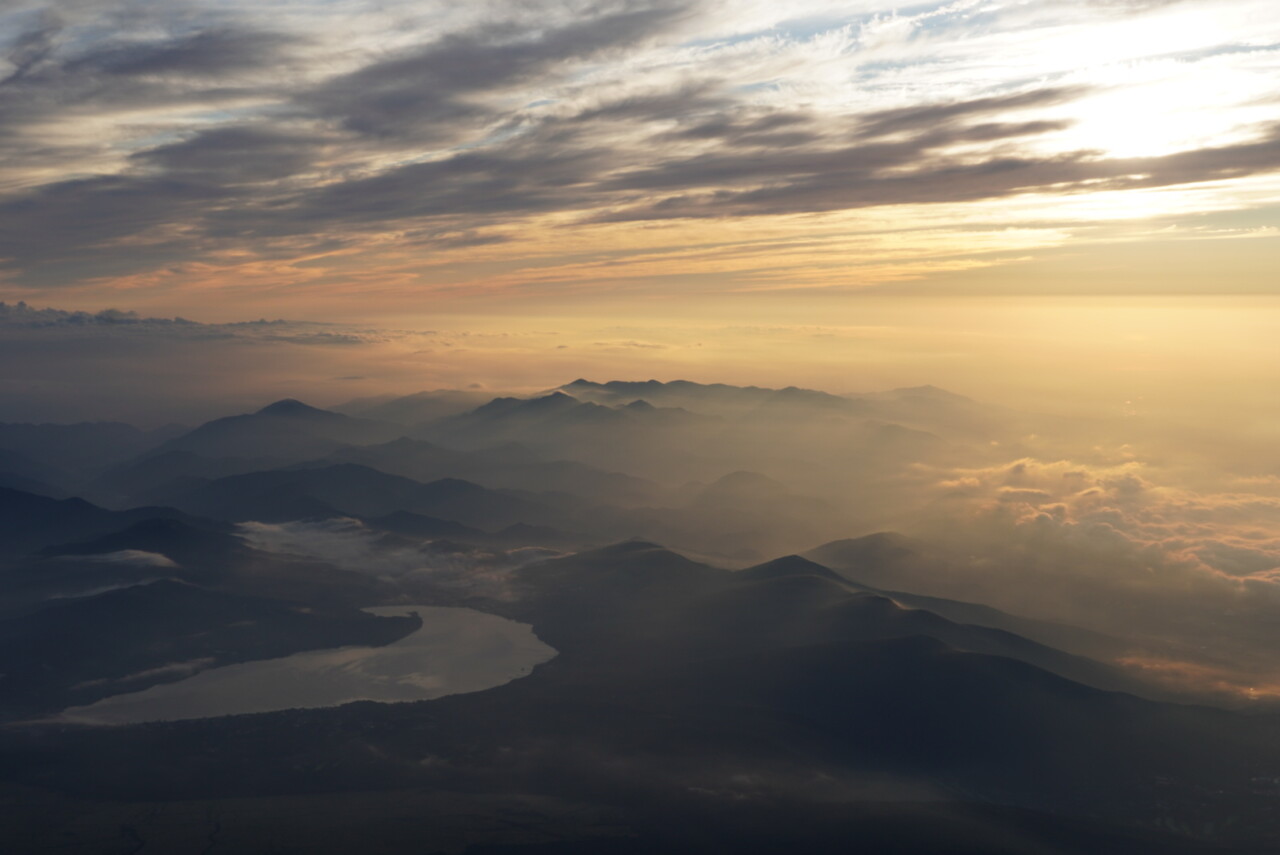
Sunrise on mount Fuji
Departure by shinkansen a little after 6:30am from Kyoto Station, arriving at Mishima at 9:20. Then we take a bus to Mizugatsuka Park. There’s a large parking lot, already fairly full, a souvenir shop that also serves as a cafeteria, and, most importantly, the station for the shuttle buses that go up to 2400m. We…
-
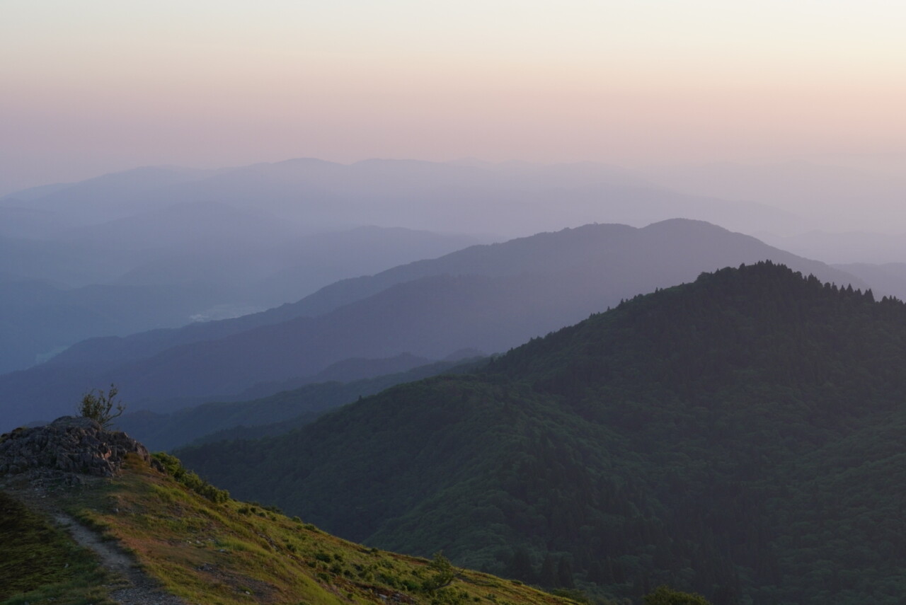
The Sun at the summit
+1250m / -1250m / 17km It’s mid-June and it’s hot. I’ve prepared a few things for a Mount Fuji climb at the end of August. Stories about watching the sunrise from the summit gave me an idea: to climb Mount Bunagatake at night (after discovering it this winter), in the cool, catch the sunrise, and…
-
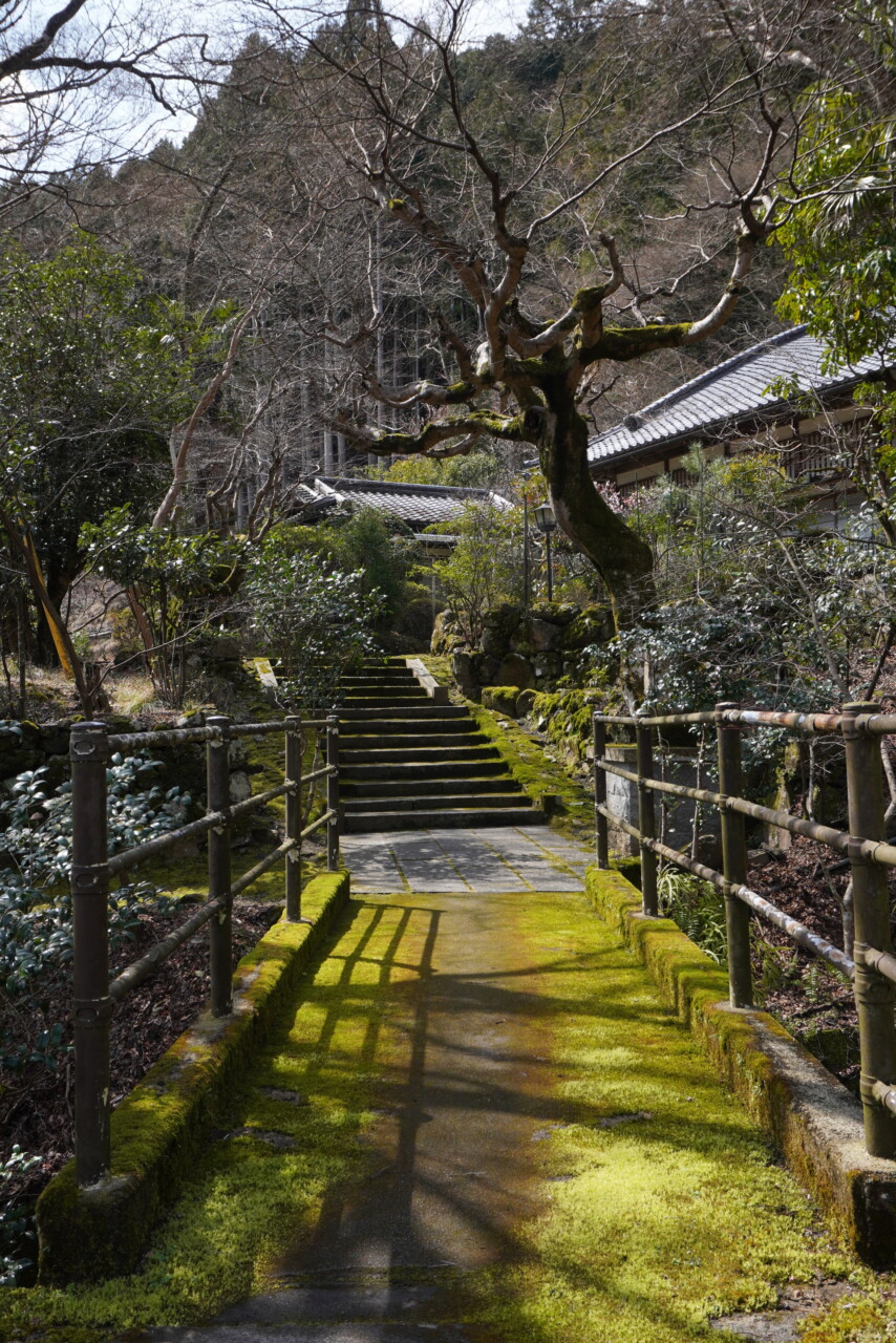
Back on the Kyoto Trail
+500m / -580m / 13km I’m not working this Friday, and unlike the previous days, it’s not raining. I’m heading out for a rather “short” hike to enjoy the outdoors without burning myself. I initially wanted to walk south of Kyoto and pass by Yokoku-ji temple, but I prefer to avoid the crowds and opt…
-
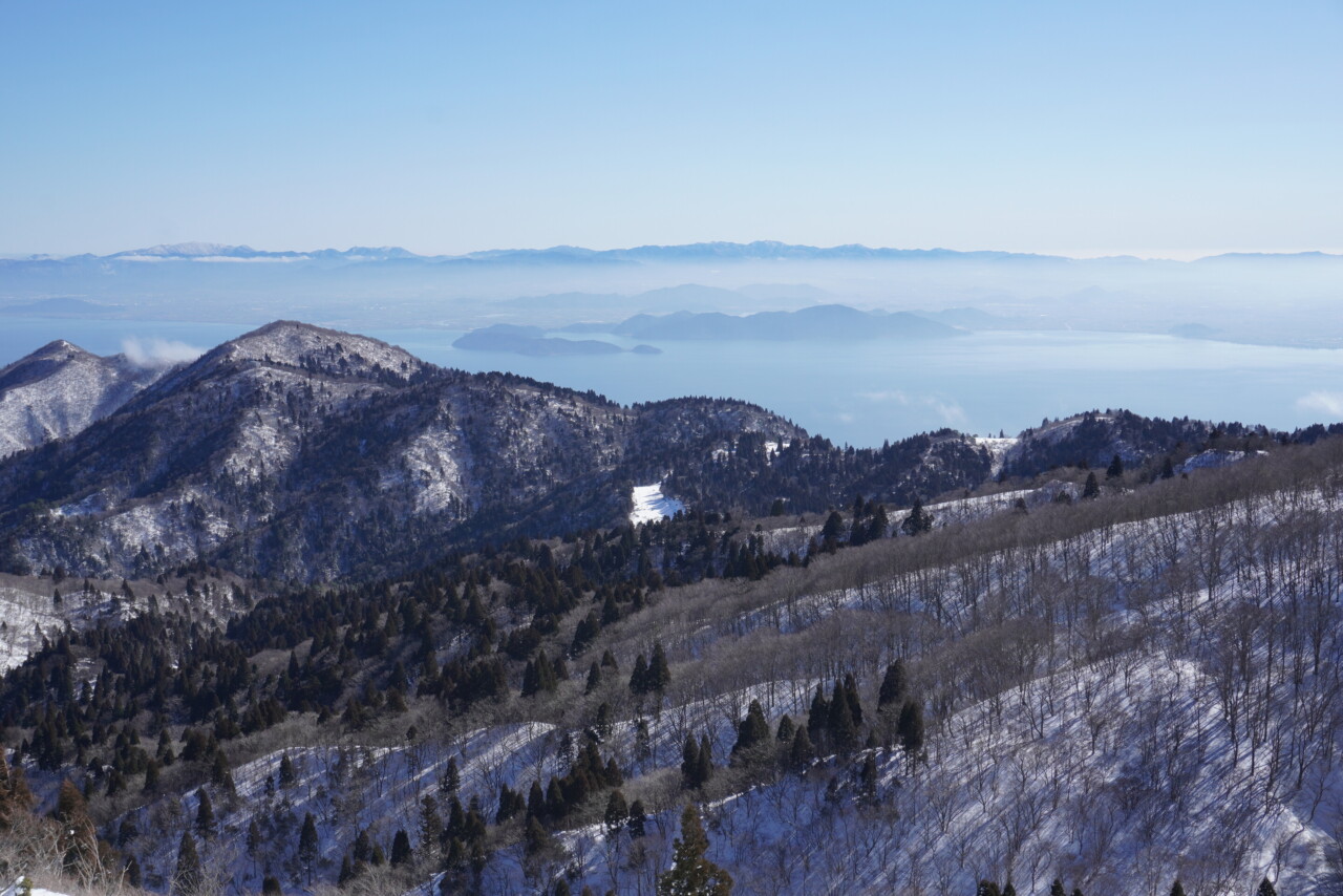
Bunagatake
+1250m / -1250m / 16km The sun is still behind the hills as I arrive at Hira Station to climb mount Bunagatake. It has been on my list for a while, and the weather forecast finally convinced me, even though it snowed last night. I got snow crampons yesterday, hoping not to need more (gaiters…
-
The Rochers de Trenze
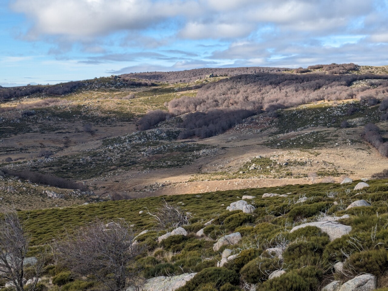
Heading to Lozère and the Cévennes for a hike around the Rochers de Trenze. Starting from Vialas, the ascent is gentle and steady, leading to the hamlet of Gourdouze. The path then follows the eponymous stream and runs along the Rochers de Trenze that overlook Vialas. The descent is a bit technical but very enjoyable,…
-
Mount Atago
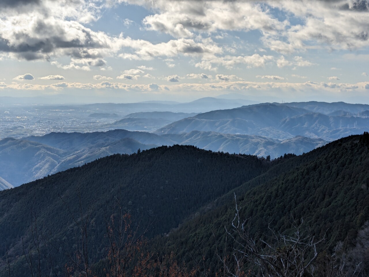
+1050m / -1100m / 19km I leave at night to take a bus 15 minutes from my place. I’m going east of Kyoto. I change buses and find myself at daybreak in Kiyotaki. I follow a small road that goes into a valley, then I turn left to get down to business. I hesitate for…
-
Mount Horai
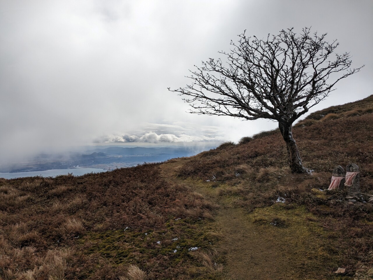
+1180m / -1180m / 13km Get up at dawn to climb Mount Horai. This mountain overlooks Lake Biwa, and a gondola lift has been built close to the summit. A few ski slopes and a panoramic restaurant are to be found there. I join with a friend at 7am at Kyoto station and we leave…
-
Kamikochi
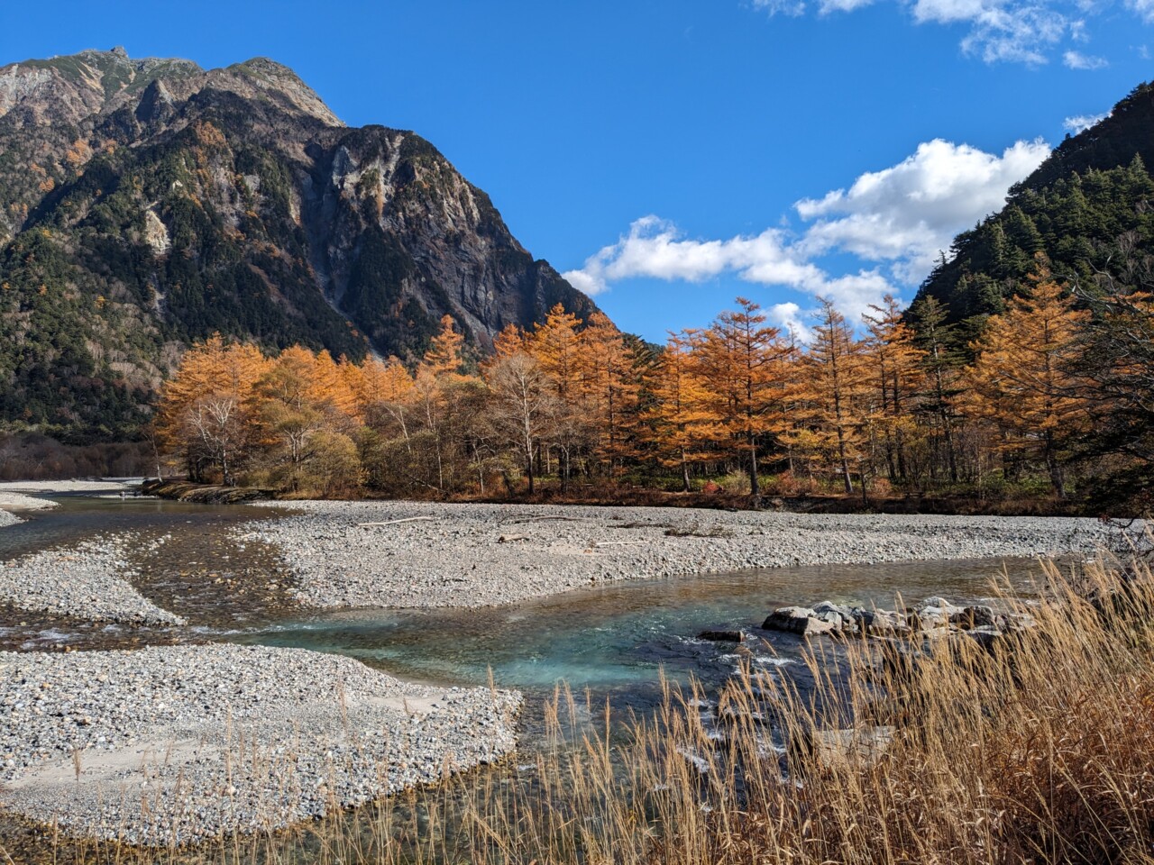
Intro Leaving at 10:50pm from Kyoto station by a night bus. The night is short since it takes about 6h30 to get to the Kamikouchi bus terminal: arriving at 5:20am in a freezing cold. With the darkness and the fog, nothing exists beyond 50m. At 6am I have breakfast in the cafeteria that has just…
-
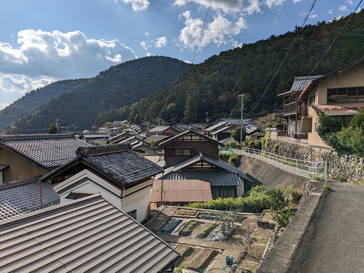
The countryside within reach of Kyoto
+1070m / -940m / 19km The hike of the day is a stage of the Kyoto Trail, at the North-East of Kyoto (in blue on the map). It is feasible from station to station by slightly adapting the route. I take the subway at Sanjo towards the North until Demachiyanagi, and I change for a…
-
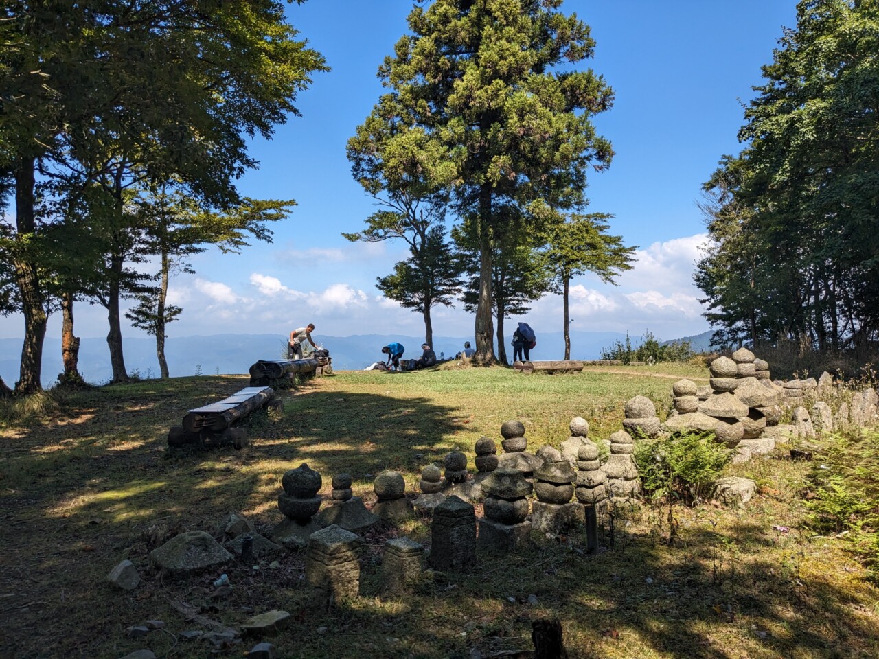
Mount Hiei
+730m / -760m / 14km I meet two colleagues on the Kamo around 8am and we go to the hike starting point by bike, around 6km North-East. We drop the bikes on what looks like the parking lot of the nearby hostpital (Japan Baptist Hospital), not knowing whether we are allowed to do so, and…
-
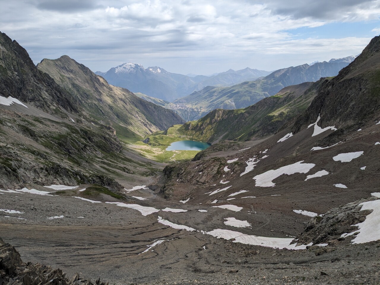
Trekking in the Écrins
Intro Leaving on Saturday at 7am from Gare de Lyon, towards Grenoble. A bus then drops me at the UCPA Serre-Chevalier around 2pm. My friends traveled with the night train and are already there. We spend the rest of the day between the swimming pool, the bar and the terrace. We chat with the staff…