+730m / -760m / 14km
I meet two colleagues on the Kamo around 8am and we go to the hike starting point by bike, around 6km North-East. We drop the bikes on what looks like the parking lot of the nearby hostpital (Japan Baptist Hospital), not knowing whether we are allowed to do so, and we start climbing.
No painted marks to find your way. Instead, there is a sign at each crossing, coming with its little statue. It shows a plan of the crossing, with all the junctions and the main destinations. Sadly, there is no mention of the distances, durations or heights. I don’t know whether this system is only local or used throughout the country.
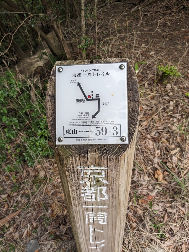
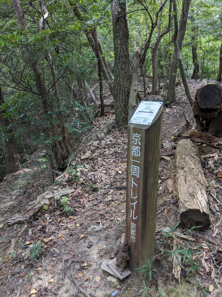
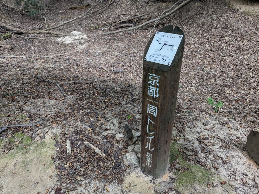
Everything happens undergrowth, but the terrain changes: crests, secondary summits, small valleys. Elevation is no joke, but the path does not weave : we go straight via stairs or constructions that look like it. Some sections are completely rutted.

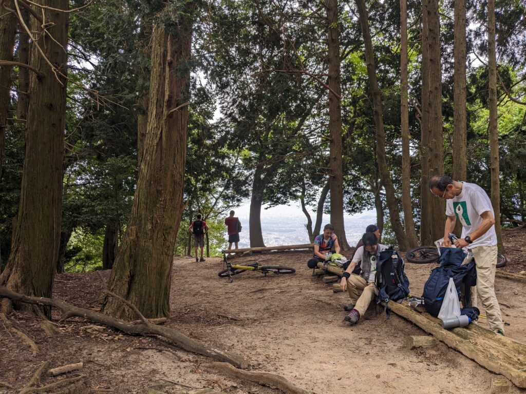
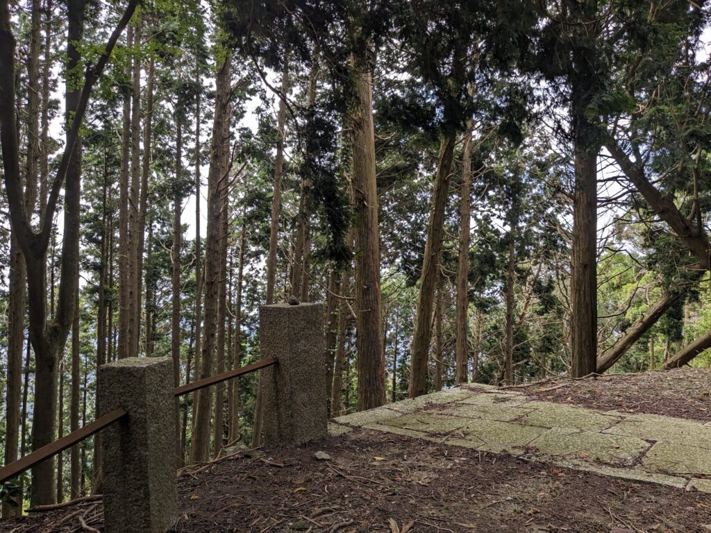
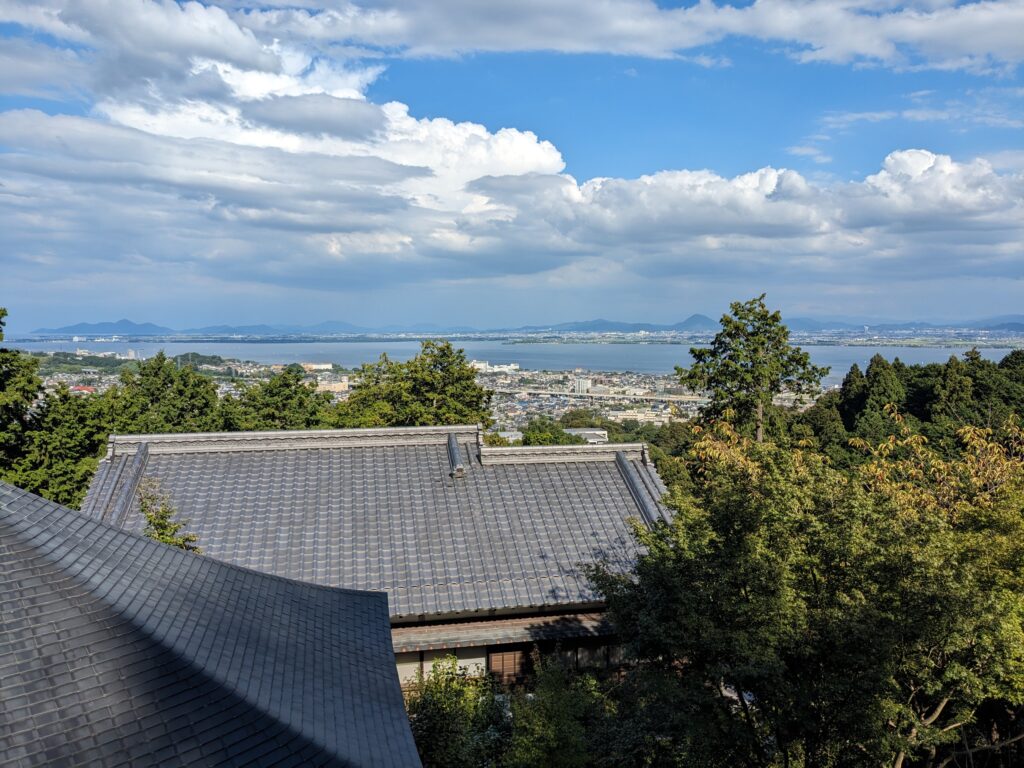
Temperature gets higher as we do. It’s hot and humid, we sweat a lot. It’s getting better around the summit, as the paths becomes flat and unobstructed. There are a few point of views on Kyoto (West), more mountains (North) and the Biwa lake (East).
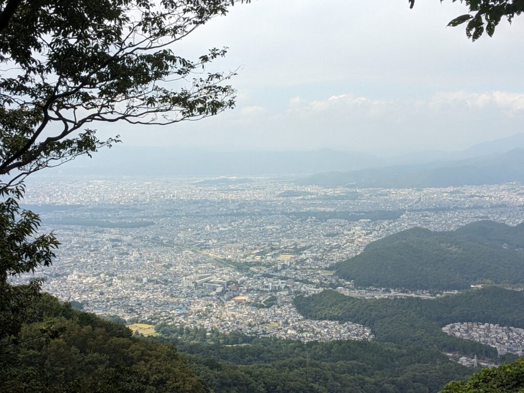
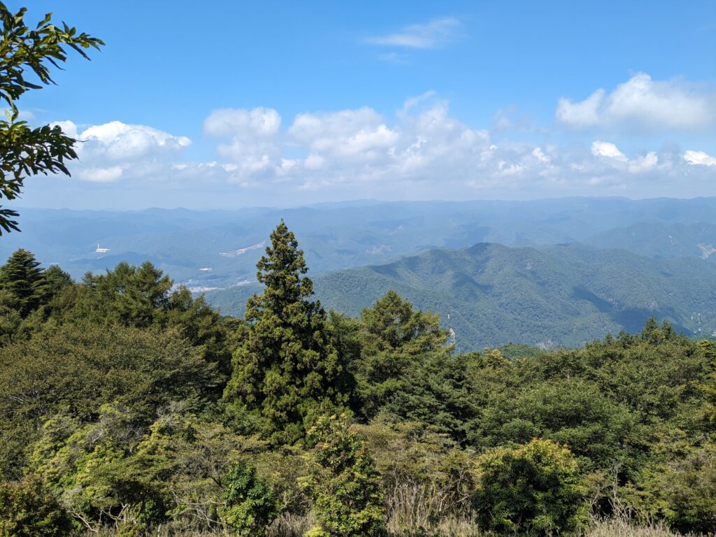
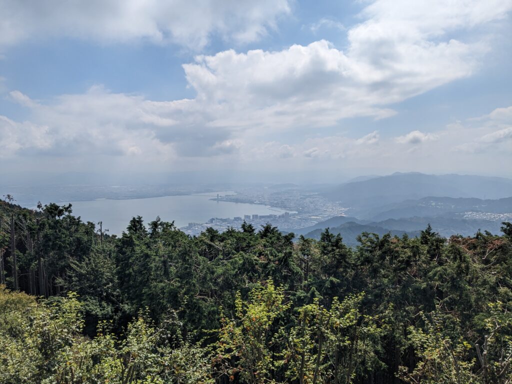
The peak is quite visited: it is easy to reach through the road or a gondola lift, and there is a garden / museum and a restaurant where we have lunch. We go down towards the lake until finding the Enryaku-ji monastery. We visit the main pavilions and we go down again.
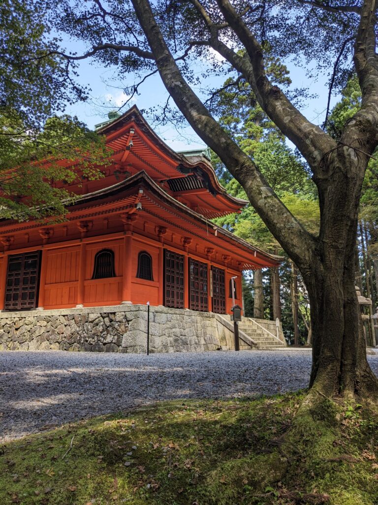
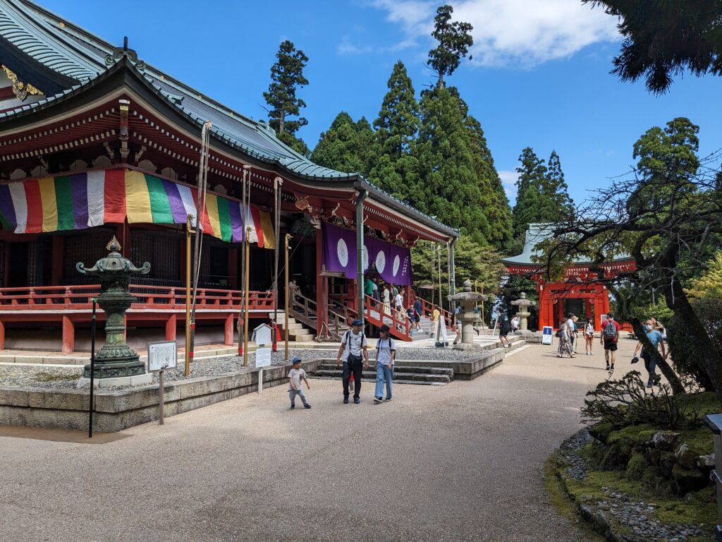
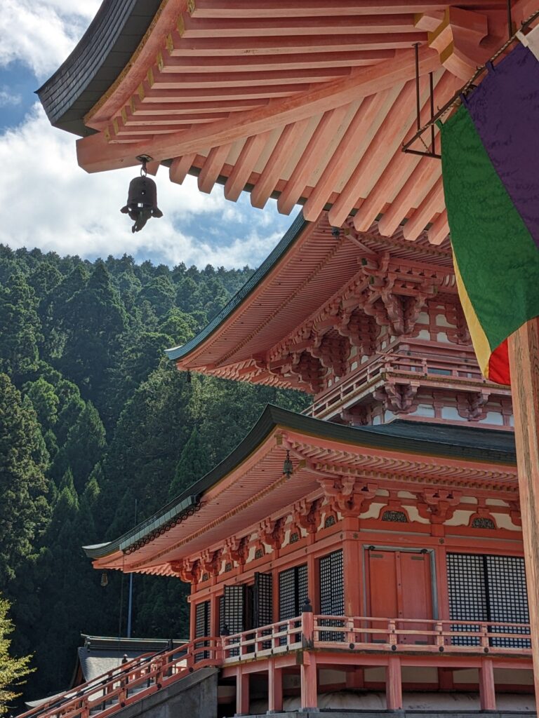
The rest of the descent is easy and steady, and we quickly arrive at Otsu, a city edging the lake. There are other temples, but no coffee shop to be found. We directly go to the Hieizan-Sakamoto station and take the return train. We change first at Yamashina to get in the subway, the we change at Sanjo Keihan to get in a crowded bus. Our bikes are still here and we leave. I et home a bit after 17h30.
Leave a Reply