+1050m / -1100m / 19km
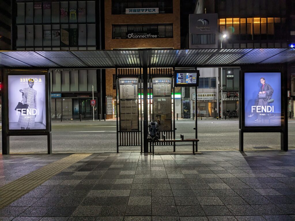
I leave at night to take a bus 15 minutes from my place. I’m going east of Kyoto. I change buses and find myself at daybreak in Kiyotaki. I follow a small road that goes into a valley, then I turn left to get down to business.
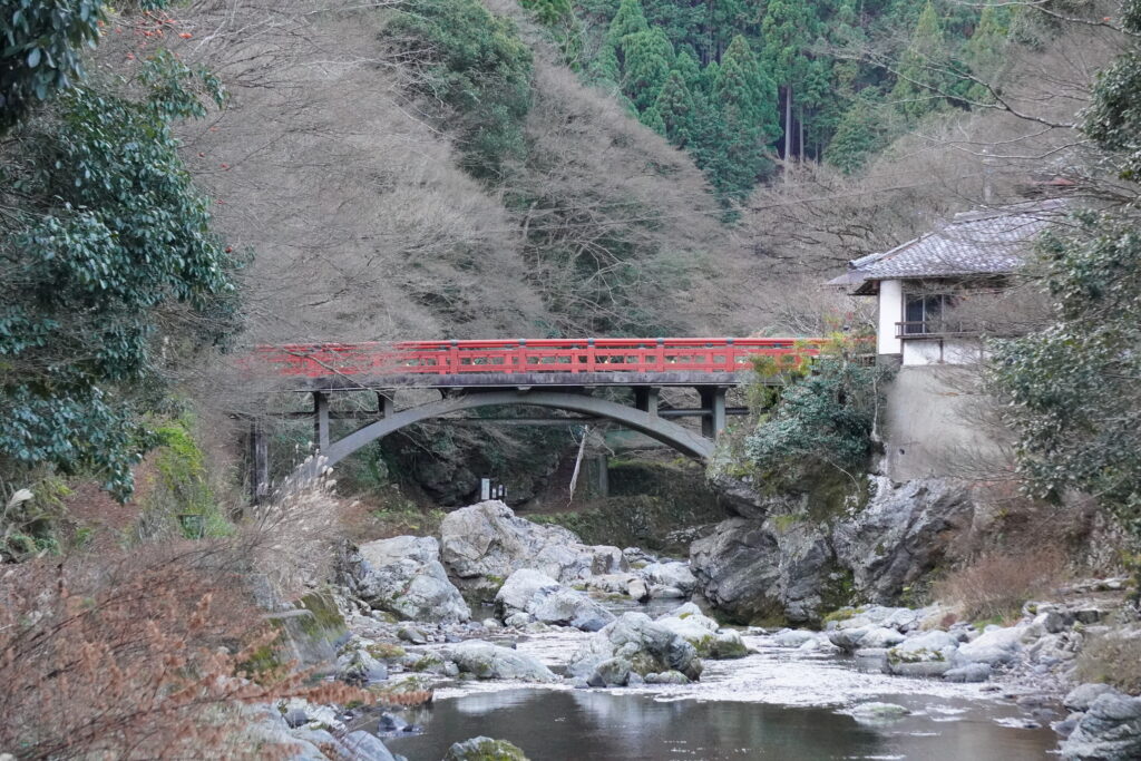
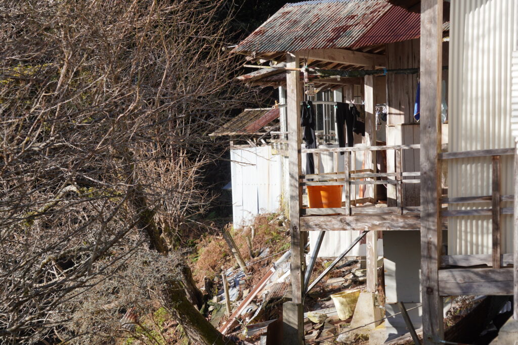
I hesitate for a moment at an unmarked crossover: I can’t decipher all the handwritten kanji… Finally, the two paths meet 50 meters further on. I think there was the “new” path and the old, but if that’s the case I don’t see the point of indicating the old. Anyway, I continue and arrive at the Tsukinowa temple. There are two or three makeshift dwellings right next to the temple, and “do not enter” signs are placed everywhere. A deer quietly passes by on the path during my break. When leaving, I hear an alarm or a bell, and since I’m not sure if I’m in the right place, I don’t linger any longer.
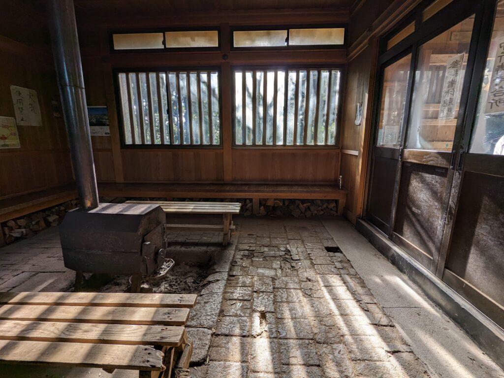
A few minutes of walking further and I arrive at the top of Mount Atago, where the eponymous sanctuary is located. The difference in temperature with the slope where I was is unexpected, and I am very glad to find a room heated by a stove in the sanctuary. I dress more and eat a little.
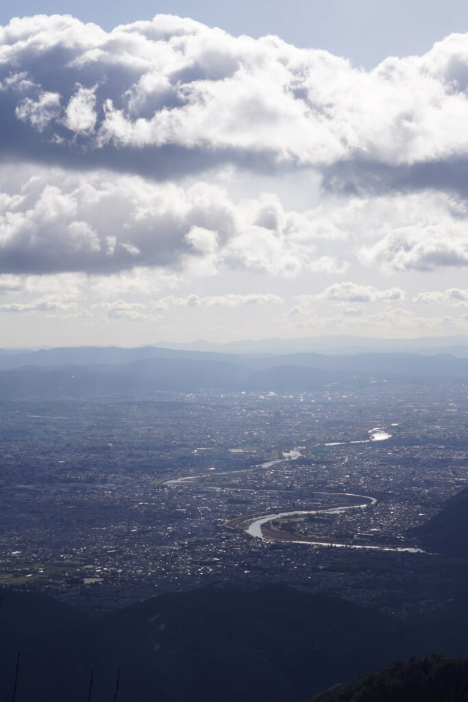
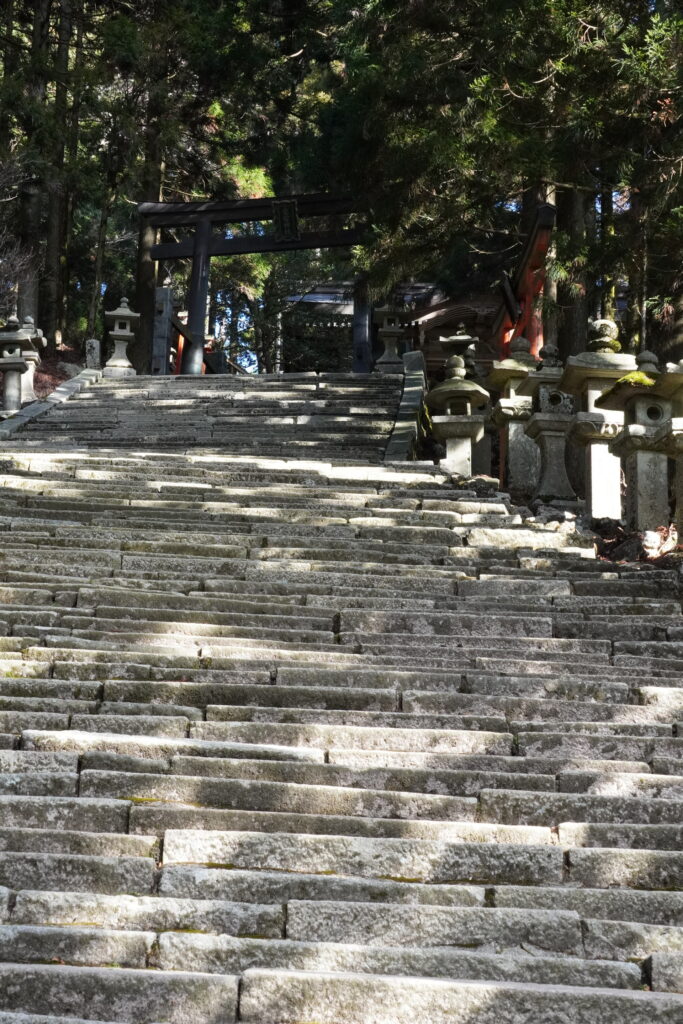
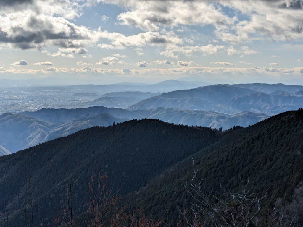
I go back down to the other side. A lot of steps at the beginning, the rest is more classic. I arrive at the village of Mizuo. Yuzu is grown here, and the trees are all laden with fruits.
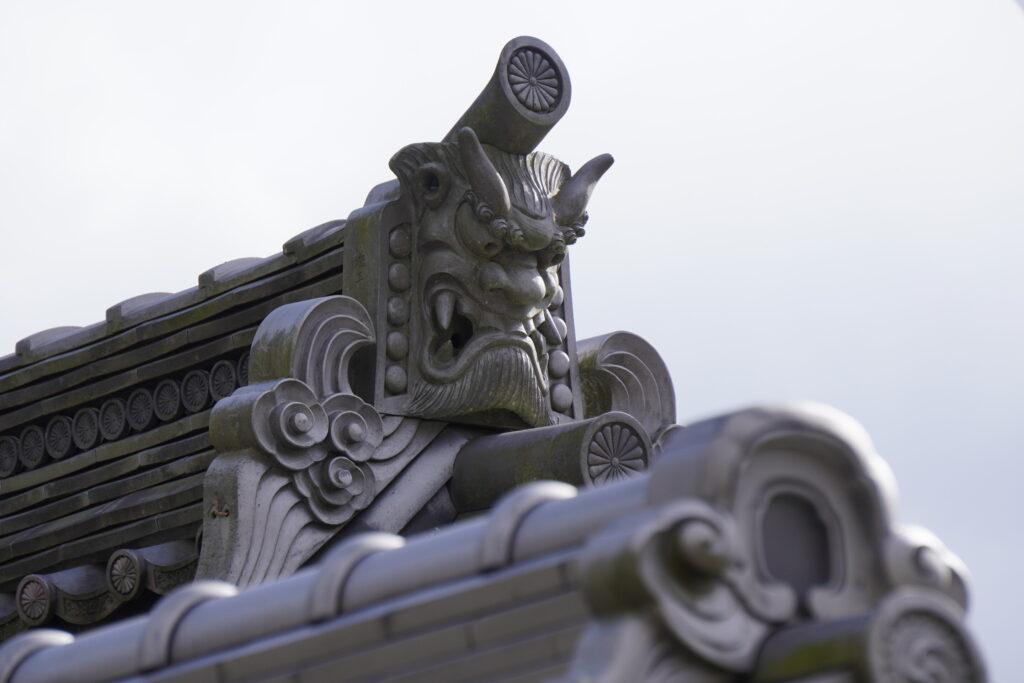
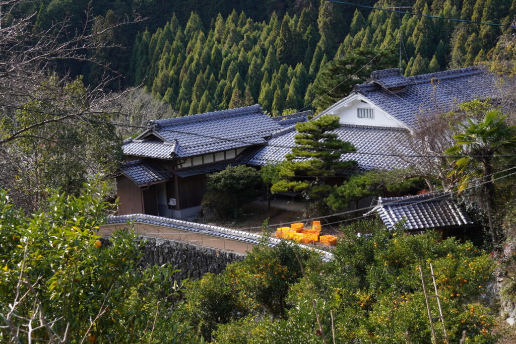
The path continues down into the valley before joining the road. It’s going to be tarmac until the end. I arrive in the Hozukyo Gorge. I pass two stations of a touristic train, one of which is entirely on a bridge.
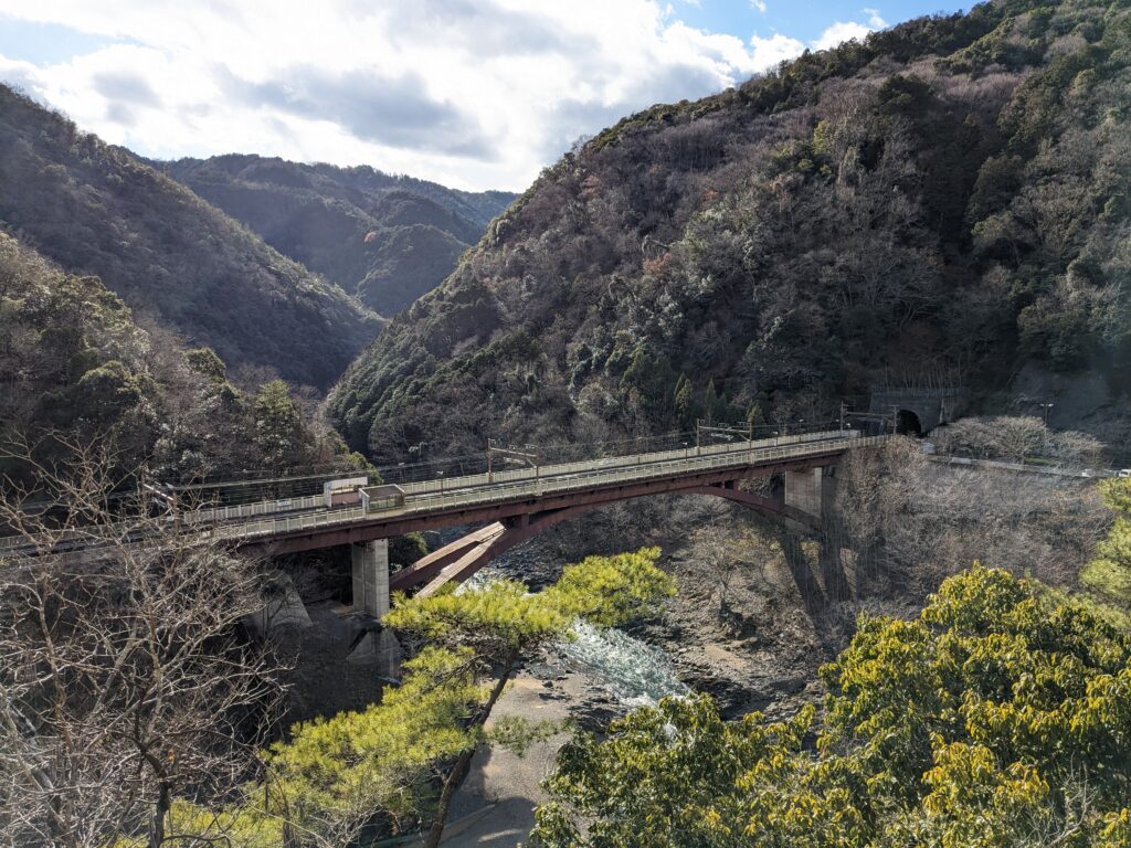
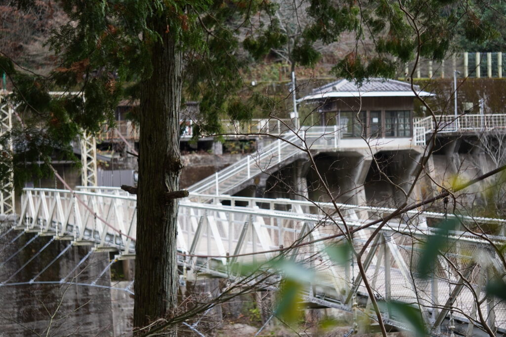
The road climbs back up to Mount Ogura. This one is not very high, but the kilometers are starting to be felt. I struggle and I get a little lost towards the end. I finally have lunch a little after 2pm, with a view of Kyoto.

I end up in the Arashiyama district, crowded with tourists. I get on the first train and I collapse.